Titan4 wrote:
mickeymouse: I have the Garmin GPSMap-60Cx. Thankfully I had it tethered and thankfully it is waterproof. It comes with MapSource software that allow you to not only view your track, but open the log to view all of the data points and the information for each point (date, time, heading, leg distance, leg speed, leg duration (where leg refers to the information between datapoints), altitude, etc. You can even view your track as a layer in Google Earth so you have a rendering of the real world under your track. Unless there is a way around it though I don't like the fact that this unit will continue to log data points even though you could be stationary for a while (such as stopping for lunch somewhere). When you view your track later you will see a big glob of points that are connected by the track in a small localized area where you were stationary. I guess due to small errors at any given time it appears that you are moving around in a very small area, but you are really not. I wish there was a way that the unit would recognize that you were not moving. Maybe there is and I have not found it yet.
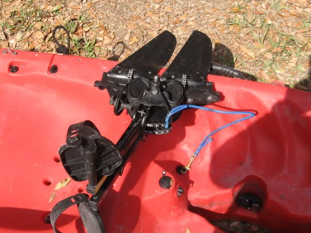
I also just extend my MD pedals so that they are against the hull for shallow water situations, but sometimes I prefer to take the MD out if the area is laden with logs, rocks, etc. Nestling the MD fins against the hull does not appear to be fool-proof in these situations. I would say though that I use the method of simply spreading the pedals about 90% of the time as it is usually all that is necessary.
Titan - thanks for the info re your GPS. I am looking at buying a 76Csx.
If it comes with MapSource s/w and can do what yours does - as well as additional features, I'll be a happy camper.

Mickey